SATELLITE IMAGERY
01/
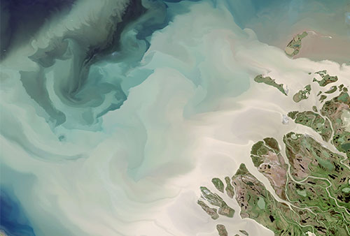
Satellite imagery searches can be complex. In addition to factors such as resolution and elevation (off-nadir) angle, there are other considerations such as sun angle, seasonality, native GSD (Ground Sampling Distance) and accuracy, etc
Access global, full-resolution imagery for over 800 satellite imagery products via a variety of community standards based set of imagery services, such as Web Map Tile Services (WMTS), Tiled Web Map Service (TWMS) and Keyhole Markup Language (KML)
02/
Key Highlights
Poor satellite imagery resulted in missed opportunities to understand complex problem better. Currently, there is a high barrier of entry to access the latest satellite images.
03/
Value Proposition
Increase the accuracy of your assets monitoring with daily satellite imagery. High-res satellite image reduced analytics processing time.
Outcome
Daily monitoring of licensed logging area as an early warning system of breaches. Coastal and maritime satellite surveillance to monitor for any threats to national security. Identify plants in agriculture sites and predict the yield.
04/
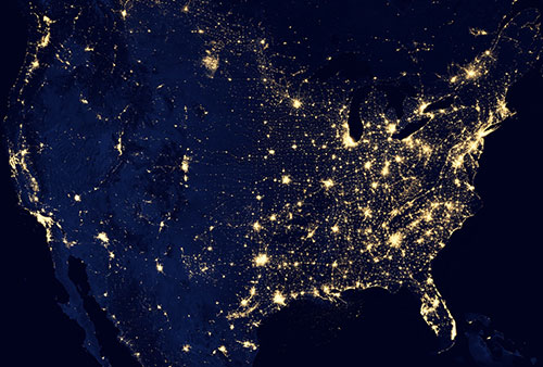
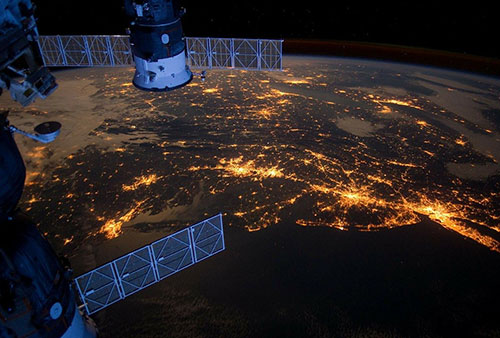
Why Is Satellite Imagery Important?
Satellite imagery is part of the big data revolution in which these images are captured through remote sensing technologies like drones, aerial photography and satellite sensors. These images provide the evidence of occurrence of places and phenomena on the Earth’s surface and in the atmosphere to let human to understand the world. Satellite imagery is increasingly available to people around the world to map the world’s communities, represent points of interest, identify boundaries and compare changes of geographic area over time in a broader perspective.
PRODUCTS
- Sistem Smart Inisiatif Peduli Rakyat
- Hospital Information System
- Smart Tourism
PROJECTS DEPLOYED
- Pejabat Tanah Dan Galian Selangor
- Unit Perancang Ekonomi Negeri Selangor
PROJECTS IN DEVELOPMENT
- ESSCOM Command Centre
- Jabatan Perhutanan Semenanjung Malaysia